| مطوّر البرامج: | ESRI (59) | ||
| السعر: | مجاني | ||
| لتصنيفات: | 0 | ||
| المراجعات: | 0 أكتب مراجعة | ||
| قوائم: | 0 + 0 | ||
| النقاط: | 0 + 35 (4.3) ¡ | ||
| App Store | |||
الوصف
")
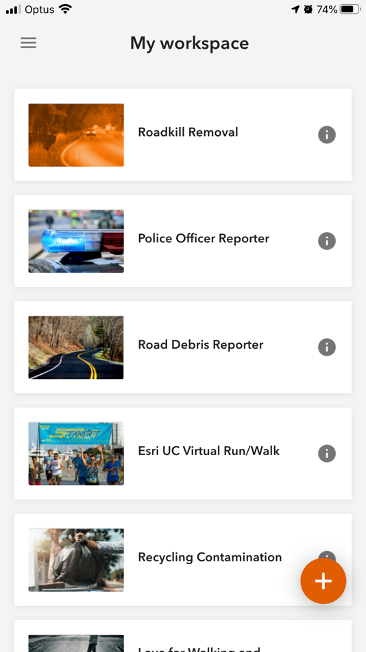
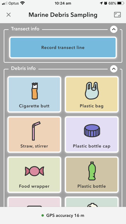
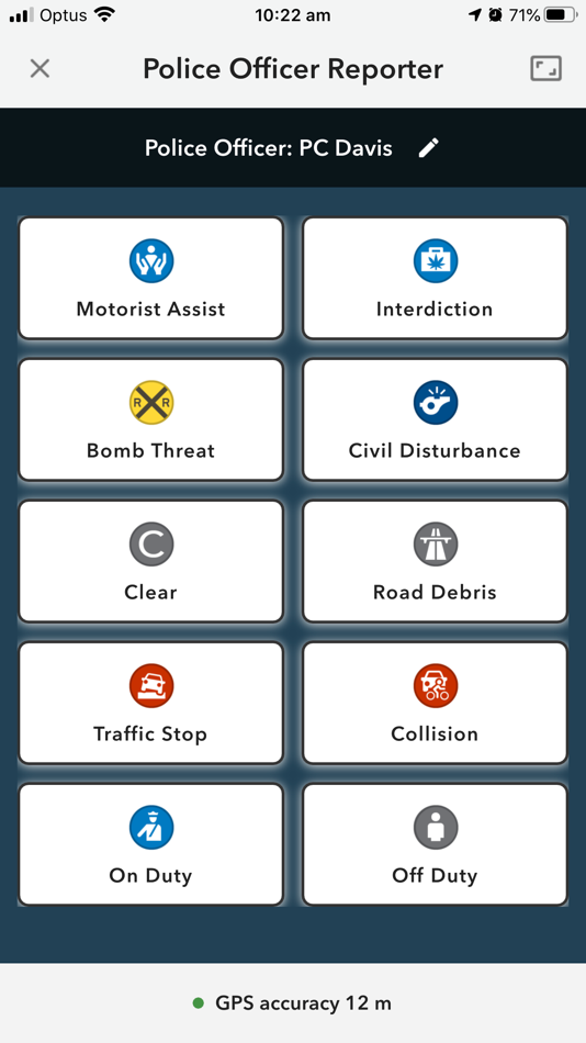
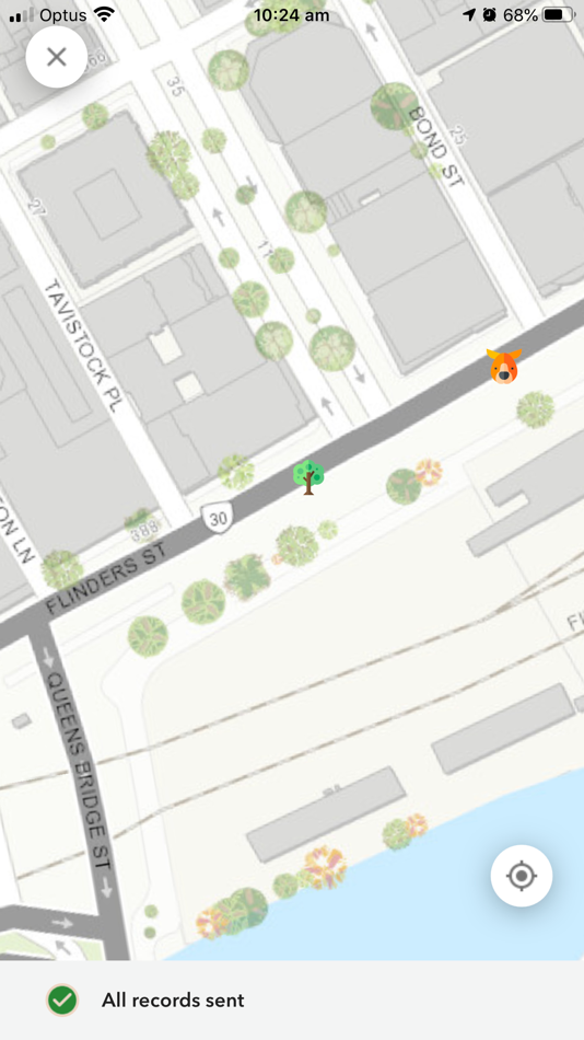
لقطات


الميزات الجديدة
- الإصدار: 1.24.3
- تم التحديث:
- - On iPhone 17 Pro and iPhone 17 Pro Max with iOS 26 or later, a bug was fixed in which the app would crash when taking a photo.
- A bug was fixed in which project updates were not shown in the mobile app.
- A bug was fixed in which the value from the sort field was submitted instead of the value field, when using a dynamic choice list.
السعر
- اليوم: مجاني
- الحد الأدنى: مجاني
- الحد الأقصى: مجاني
تتبّع الأسعار
مطوّر البرامج
- ESRI
- المنصات: Android تطبيقات (27) iOS تطبيقات (31) macOS تطبيقات (1)
- قوائم: 0 + 0
- النقاط: 1 + 8,743 ¡
- لتصنيفات: 0
- المراجعات: 0
- تخفيضات: 0
- أشرطة فيديو: 2
- RSS: اشتراك
النقاط
0 ☹️
لتصنيفات
0 ☹️
قوائم
0 ☹️
المراجعات
كن الأول لمراجعة هذا المنتج 🌟
معلومات إضافية
- الإصدار: 1.24.3
- الفئة:
iOS تطبيقات›الأدوات المساعدة - نظام التشغيل:
iPad,iPhone,iOS 13.0 والأحدث - الحجم:
161 Mb - اللغة المعتمدة:
Arabic,Bosnian,Bulgarian,Catalan,Chinese,Croatian,Czech,Danish,Dutch,English,Estonian,Finnish,French,German,Greek,Hebrew,Hungarian,Indonesian,Italian,Japanese,Korean,Latvian,Lithuanian,Norwegian,Polish,Portuguese,Romanian,Russian,Serbian,Slovak,Slovenian,Spanish,Swedish,Thai,Turkish,Ukrainian,Vietnamese - تقييم المحتوى:
4+ - App Store تقييم:
4.3(35) - تم التحديث:
- تاريخ الإصدار:
جهات الاتصال
- الموقع الإلكتروني:
 https://www.esri.com/en-us/arcgis/products/arcgis-quickcapture/overview
- 🌟 مشاركة
- App Store
قد يعجبك ايضا
-
- ArcGIS AppStudio Player
- iOS تطبيقات: الأدوات المساعدة بواسطة: ESRI
- مجاني
- قوائم: 0 + 0 لتصنيفات: 0 المراجعات: 0
- النقاط: 0 + 12 (4.2) الإصدار: 5.5.23 AppStudio Player lets you instantly view mapping applications created with ArcGIS AppStudio. It offers you a great way to quickly test your own creations before you build and ... ⥯
-
- Measure Map Pro
- iOS تطبيقات: الأدوات المساعدة بواسطة: Blue Blink One, SL
- مجاني
- قوائم: 2 + 2 لتصنيفات: 0 المراجعات: 0
- النقاط: 4 + 791 (4.6) الإصدار: 13.10.3 Measure Map Pro lets you quickly and easily measure multiple distances, perimeters and areas with laser sharp precision!. Use it for small areas or large, then share with coworkers. ... ⥯
-
- InfraMarker RFID
- iOS تطبيقات: الأدوات المساعدة بواسطة: Berntsen International, Inc.
- مجاني
- قوائم: 0 + 0 لتصنيفات: 0 المراجعات: 0
- النقاط: 0 + 0 الإصدار: 2.8.3 InfraMarker RFID app, compatible UHF and NFC RFID tags, readers, and host applications, such as ArcGIS Field Maps and ArcGIS Survey123 applications work together to transform the way ... ⥯
-
- TicketAccess
- iOS تطبيقات: الأدوات المساعدة بواسطة: PelicanCorp
- مجاني
- قوائم: 0 + 0 لتصنيفات: 0 المراجعات: 0
- النقاط: 0 + 0 الإصدار: 1.2 TicketAccess is a comprehensive ticket management platform designed specifically for "call before you dig" operations and damage prevention. It enables users to efficiently handle ... ⥯
-
- SCATalogue
- iOS تطبيقات: الأدوات المساعدة بواسطة: California Department of Fish and Wildlife
- مجاني
- قوائم: 0 + 0 لتصنيفات: 0 المراجعات: 0
- النقاط: 0 + 3 (5.0) الإصدار: 1.85 The SCATalogue app is a creation of the California Department of Fish and Wildlife, Office of Spill Prevention and Response (CDFW, OSPR). SCATalogue simplifies the collection of ... ⥯
-
- Socode - Source Code Viewer
- iOS تطبيقات: الأدوات المساعدة بواسطة: Huizhou Jiqu Technology Co., Ltd.
- $4.99
- قوائم: 0 + 0 لتصنيفات: 0 المراجعات: 0
- النقاط: 0 + 15 (4.4) الإصدار: 1.8.3 # What is Socode? Socode is a source code reader designed for iPhone, iPad devices. You can view the source code on your mobile device anytime, anywhere. # Features - Syntax ... ⥯
-
- GasSCAN
- iOS تطبيقات: الأدوات المساعدة بواسطة: Magnolia River
- مجاني
- قوائم: 0 + 0 لتصنيفات: 0 المراجعات: 0
- النقاط: 0 + 7 (5.0) الإصدار: 2.0.0 An application to allow the scanning of a barcode or QR code that meets ASTM F2897 standard. Application stores all scans and includes GPS data while scanning. Once a list of scans has ⥯
-
- Classic FieldSeeker Mosquito
- iOS تطبيقات: الأدوات المساعدة بواسطة: Frontier Precision, Inc.
- مجاني
- قوائم: 0 + 0 لتصنيفات: 0 المراجعات: 0
- النقاط: 0 + 19 (3.0) الإصدار: 1.0.250715 The FieldSeeker GIS for Mosquito Control cross-platform mobile app (CPMA) is an easy and convenient way for mosquito and vector control operations to record and view field activities ... ⥯
-
- LaunchPoint SiteRight
- iOS تطبيقات: الأدوات المساعدة بواسطة: LaunchPoint Software Systems Inc.
- مجاني
- قوائم: 0 + 0 لتصنيفات: 0 المراجعات: 0
- النقاط: 0 + 10 (3.8) الإصدار: 1.2.281 SiteRight collects precise GIS field data using customized Forms, project specific Data Dictionaries and map-based data capture tools Data is safely stored in the cloud for later use ... ⥯
-
- SpotOnResponse
- iOS تطبيقات: الأدوات المساعدة بواسطة: SpotOnResponse
- مجاني
- قوائم: 0 + 0 لتصنيفات: 0 المراجعات: 0
- النقاط: 0 + 1 (5.0) الإصدار: 5.0.0 SpotOnResponse is available on your desktop in a browser for use in operations centers and now on your iPhone or iPad for mobile use. The SpotOnResponse iOS application is a complement ⥯
-
- 3D地球-satellite and 3D terrain
- iOS تطبيقات: الأدوات المساعدة بواسطة: 家会 黎
- مجاني
- قوائم: 0 + 0 لتصنيفات: 0 المراجعات: 0
- النقاط: 0 + 3 (3.7) الإصدار: 2.7 3D Earth is a global satellite mapping software that integrates terrain, contour lines, geographic measurements, markers, altitude, compass, and more. Here, you can view real-time ... ⥯
-
- UTTO vLocate® Mapper
- iOS تطبيقات: الأدوات المساعدة بواسطة: IPEG Corporation
- مجاني
- قوائم: 0 + 0 لتصنيفات: 0 المراجعات: 0
- النقاط: 0 + 2 (5.0) الإصدار: 0.1.25 UTTO vLocate® Mapper enables field tech map & relocate of buried assets and facilities with simple, fast centimeter accuracy. Patented (№ 16880702) and designed specifically for the ... ⥯