| Udvikler: | SeeOnSea (4) | ||
| Pris: | Gratis | ||
| Rangeringer: | 0 | ||
| Anmeldelser: | 0 Skriv en anmeldelse | ||
| Lister: | 0 + 0 | ||
| Point: | 0 + 0 ¡ | ||
| Google Play | |||
Beskrivelse
")
Observations can be confirmed by anyone.
Sharing private observations is reserved for a group or community for which they were made.
SeeOnSea is worldwide usable, on all seas and oceans, and even on rivers and lakes.
5 types of observations are possible (that will be soon completed):
- Fauna
- Flora
- Natural events
- Human print (pollution, nets, containers, etc.)
- Notable sites
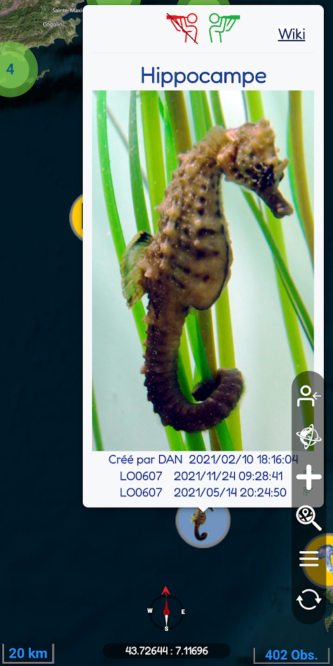
Our mini-wiki presents for each observation additional information with text and photos captured from Wikipedia or from one of our scientific partners.
The search is intuitive with seasonality/dates and the possibility to select several types of observations.
In addition to the basic functions, the concept includes:
- An offline mode
- A true multi language
- An internal messaging
- Multiple layers of presentation (relief, bathymetry, traffic, wrecks, protected areas, etc.) and many options to discover.
A User Guide is directly accessible at the first login or in the menu.
It is not mandatory to create an account to access the observation sharing map.
Without account, access is done as "guest" ("Unknown" account) with some limited features but it is anyway possible to create and confirm observations.
Many functions are being developed and will soon complete the current version.
The goal is to show the wealth of our world by reaching out to as many people as possible to respect and protect it.
Come and join us!
Ad
Skærmbilleder


Pris
- I dag: Gratis
- Minimum: Gratis
- Maksimalt: Gratis
Overvåg priser
Ad
Udvikler
- SeeOnSea
- Platforme: Android Apps (2) iOS Apps (2)
- Lister: 0 + 0
- Point: 0 + 0 ¡
- Rangeringer: 0
- Anmeldelser: 0
- Rabatter: 0
- Videoer: 0
- RSS: Abonner
Point
0 ☹️
Rangeringer
0 ☹️
Lister
0 ☹️
- SeeOnSea
Anmeldelser
Vær den første til at gennemgå 🌟
Yderligere oplysninger
- Version: 573
- Kategori:
Android Apps›Kort og navigation - Operativsystem:
Android 5.1 - Størrelse:
22 Mb - Indholdsklassificering:
Everyone - Google Play Bedømmelse:
0 - Opdateret:
- Udgivelsesdato:
Kontaktpersoner
- Websted:
 https://www.seeonsea.com
- 🌟 Del
- Google Play
Du vil måske også kunne lide
-
- See Me: Bus Signalling
- Android Apps: Kort og navigation Ved: See Me App
- Gratis
- Lister: 0 + 0 Rangeringer: 0 Anmeldelser: 0
- Point: 0 + 0 Version: 3.0.0 See Me is making catching a bus more accessible. Connecting See Me to the buses is currently being rolled out on the trial routes. Please be patient as the hardware is deployed and ... ⥯
-
- See.Sense
- Android Apps: Kort og navigation Ved: See Sense
- * Gratis
- Lister: 1 + 0 Rangeringer: 0 Anmeldelser: 0
- Point: 1 + 117 (2.5) Version: 1.5.7 See.Sense s award-winning bike lights don t just make you safer on the road. They work with this app to give you a voice. The technology within our lights can detect any road issues or ⥯
-
- SEA.AI
- Android Apps: Kort og navigation Ved: SEA.AI
- Gratis
- Lister: 0 + 0 Rangeringer: 0 Anmeldelser: 0
- Point: 0 + 0 Version: 1.2.3 Increase your vigilance and improve your safety at sea with the SEA.AI Sentry & Brain application, the user interface of a marine optical system based on machine vision. SEA.AI ... ⥯
-
- Sea Drive
- Android Apps: Kort og navigation Ved: Sea Drive
- * Gratis
- Lister: 0 + 0 Rangeringer: 0 Anmeldelser: 0
- Point: 0 + 14 (2.6) Version: 8.0.2 * What is Sea Drive? Sea Drive is a marine and boating application focused on charting, navigation, route building, track recording, tides, currents, and more! Our goal is to provide ... ⥯
-
- Sea Calculator
- Android Apps: Kort og navigation Ved: Capt Kuba
- Gratis
- Lister: 0 + 0 Rangeringer: 0 Anmeldelser: 0
- Point: 0 + 0 Version: 3,1 A simple calculator for navigators that calculates: 1) ETA - Time and date of arrival, route in Nm, Km, m, along with fuel consumption and fuel costs 2) Wind speed converter - knots, ... ⥯
- Ny
- SEA&WIN
- Android Apps: Kort og navigation Ved: SeattleFWC26
- Gratis
- Lister: 0 + 0 Rangeringer: 0 Anmeldelser: 0
- Point: 0 + 0 Version: 0.13 SEA&WIN Game gives fans, visitors, and residents a fun and engaging way to - Compete for SEA&WIN prizes; - Explore the culture, art, retail, and restaurant treasures that make the ... ⥯
-
- Sea Pro Connect
- Android Apps: Kort og navigation Ved: BOAT FIX, INC.
- Gratis
- Lister: 0 + 0 Rangeringer: 0 Anmeldelser: 0
- Point: 0 + 0 Version: 2.0.3 Sea Pro Connect GPS tracker allows clients to remotely monitor vital information on their boat and GPS track both in real time and also with historical playback ⥯
-
- Sea of Azov Offline GPS Charts
- Android Apps: Kort og navigation Ved: MAPITECH LTD
- $4.99
- Lister: 0 + 0 Rangeringer: 0 Anmeldelser: 0
- Point: 0 + 0 Version: 5.2.1.6 MapiTech launches on the market the best official up-to-date RNC (raster) combined with S57 nautical charts (digital): marinas, wrecks, fishing spots, boat ramps, POI. This app ... ⥯
-
- Sea Safe
- Android Apps: Kort og navigation Ved: Social Status Group
- Gratis
- Lister: 0 + 0 Rangeringer: 0 Anmeldelser: 0
- Point: 0 + 0 Version: 1.0.0 Maritime Safety App based throughout out The Islands of The Bahamas. Delivering daily weather updates as well as information on the harbours of the islands of The Bahamas as well as ... ⥯
-
- NFTA See Say
- Android Apps: Kort og navigation Ved: ELERTS Corp.
- Gratis
- Lister: 0 + 0 Rangeringer: 0 Anmeldelser: 0
- Point: 0 + 23 (3.9) Version: 5.0.2 "See something Say something for smartphones The NFTA See Say App offers the public a quick and discreet method for reporting suspicious activity directly to the NFTA Transit Police. ... ⥯
-
- Mediterranean Sea GPS Charts
- Android Apps: Kort og navigation Ved: FLYTOMAP INC
- * $9.99
- Lister: 0 + 0 Rangeringer: 0 Anmeldelser: 0
- Point: 0 + 0 Version: 4.4.3.7.8 Flytomap is a valid & interesting alternative, Featured on the Deck Featured on Geomedia Worldwide Marine and Outdoor Maps available when connected, thanks to viewer.flytomap.com ... ⥯
-
- iStreams - Irish Sea
- Android Apps: Kort og navigation Ved: Navtech Software
- * Gratis
- Lister: 0 + 0 Rangeringer: 0 Anmeldelser: 0
- Point: 0 + 0 Version: 1.96-np256 iStreams displays the valid hourly Irish Sea tidal stream atlas for the current real time, in reference to the time of high water at Dover... a smart app, fully functional offline. ... ⥯
-
- Mapitare Terrain and Sea Map
- Android Apps: Kort og navigation Ved: Mapitare Oy
- * Gratis
- Lister: 0 + 0 Rangeringer: 0 Anmeldelser: 0
- Point: 0 + 0 Version: 1.3.81 MAPITARE TERRAIN AND SEA MAP Now you can try all the maps free for seven days (©Sjöfartsverket three days)! Mapping software downloaded into your mobile phone s memory improves your ... ⥯
-
- ETA Flow - Sea Calculator
- Android Apps: Kort og navigation Ved: everancii
- * * Gratis
- Lister: 0 + 0 Rangeringer: 0 Anmeldelser: 0
- Point: 0 + 0 Version: 1.0.10 ETA Flow - Sea Calculator is a specialized maritime navigation application designed for calculating Estimated Time of Arrival (ETA) and sea distances. This essential tool for sailors, ... ⥯