| Entwickler: | CODABLE GR (6) | ||
| Preis: | Kostenlos | ||
| Klassifizierungen: | 0 | ||
| Rezensionen: | 0 Rezension schreiben | ||
| Listen: | 0 + 0 | ||
| Punkte: | 0 + 0 ¡ | ||
| Google Play | |||
Beschreibung
")
Ad
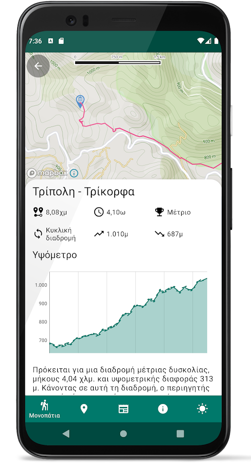
Screenshots


Preis
- Heute: Kostenlos
- Mindestens: Kostenlos
- Maximale: Kostenlos
Preise beobachten
Ad
Entwickler
- CODABLE GR
- Plattformen: Android Apps (3) iOS Apps (3)
- Listen: 0 + 0
- Punkte: 0 + 0 ¡
- Klassifizierungen: 0
- Rezensionen: 0
- Rabatte: 0
- Videos: 0
- RSS: Abonnieren
Punkte
0 ☹️
Klassifizierungen
0 ☹️
Listen
0 ☹️
- Tripolis Trails
Rezensionen
Schreiben Sie die erste Bewertung 🌟
Weitere informationen
- Version: 1.1.0
- Kategorie:
Android Apps›Karten & Navigation - Betriebssysteme:
Android 6.0 - Größe:
23 Mb - Altersfreigabe:
Everyone - Google Play Bewertung:
0 - Aktualisiert:
- Veröffentlichungsdatum:
Kontakte
- Webseite:
 https://trails.codable.gr/
- 🌟 Teilen
- Google Play
Das könnte Ihnen auch gefallen
-
- Trails Offroad: Offline Maps
- Android Apps: Karten & Navigation Von: Trails Offroad
- * Kostenlos
- Listen: 0 + 0 Klassifizierungen: 0 Rezensionen: 0
- Punkte: 0 + 288 (4.4) Version: 3.9.0-309001293 Explore with Confidence. Go Beyond the Pavement. Trails Offroad is the #1 app for discovering, planning, and navigating off-road adventures whether you're behind the wheel of a Jeep, ... ⥯
-
- OnPoint Trails: OHV Trail Map
- Android Apps: Karten & Navigation Von: On Point Trails
- * Kostenlos
- Listen: 0 + 0 Klassifizierungen: 0 Rezensionen: 0
- Punkte: 0 + 0 Version: 2.4 OnPoint Trails: Your Ultimate Offline Off-Road Navigator Discover the freedom of off-roading with OnPoint Trails, the all-in-one app designed for adventurers who seek to explore CA OHV ⥯
-
- Wikiloc - Trails of the World
- Android Apps: Karten & Navigation Von: Wikiloc Outdoor
- * Kostenlos
- Listen: 0 + 0 Klassifizierungen: 0 Rezensionen: 0
- Punkte: 0 + 144,422 (4.5) Version: New The Outdoors Community App. Wikiloc is the go-to outdoor navigation application for hiking, cycling, and over 80 other outdoor activities with millions of members worldwide. Find your ... ⥯
-
- Boulder Bike Trails
- Android Apps: Karten & Navigation Von: ColoradoSingleTrack
- Kostenlos
- Listen: 0 + 0 Klassifizierungen: 0 Rezensionen: 0
- Punkte: 0 + 0 Version: 20.7 Choose from dozens of single-track mountain biking trails on an interactive map of the Boulder/Denver area of Colorado. Sections of the Colorado Trail between Denver and Breckenridge ... ⥯
-
- GPS Distance Calculator Trails
- Android Apps: Karten & Navigation Von: LogiSian
- * Kostenlos
- Listen: 0 + 0 Klassifizierungen: 0 Rezensionen: 0
- Punkte: 2 + 0 Version: 1.0.10 A powerful GPS distance measurement app for tracking your outdoor adventures! Whether you're walking, running, cycling, hiking, or driving, this powerful GPS tracker helps you measure ... ⥯
-
- Bike, Run, Hike Trails Mapeak
- Android Apps: Karten & Navigation Von: Mapeak
- * Kostenlos
- Listen: 0 + 0 Klassifizierungen: 0 Rezensionen: 0
- Punkte: 0 + 0 Version: 9.21.189 TOPOGRAPHIC MAPS WITH ROUTE PLANNING, TRACKING & OFFROAD HIKING, RUNNING, BIKING & RIDING TRAILS Mapeak is a modern off-road running, riding, and hiking navigation and route-planning ... ⥯
-
- Paths and Trails Funäsfjällen
- Android Apps: Karten & Navigation Von: Destination Funäsfjällen
- Kostenlos
- Listen: 0 + 0 Klassifizierungen: 0 Rezensionen: 0
- Punkte: 0 + 0 Version: 2.7.6 Welcome to Funäsfjällen! With Trails and Trails you get information about the official trails in Funäsfjällen for cycling, hiking, snowmobiling and cross-country skiing. You get ... ⥯
-
- MAPGEARS Trails
- Android Apps: Karten & Navigation Von: Mapgears
- Kostenlos
- Listen: 0 + 0 Klassifizierungen: 0 Rezensionen: 0
- Punkte: 0 + 0 Version: 2.0.4 The Mapgears Trails mobile app brings the full power of the Mapgears Trails platform directly to your smartphone, enabling seamless collaboration between the web and mobile experience. ⥯
-
- FunTreks 4x4 Offroad Trails
- Android Apps: Karten & Navigation Von: FunTreks
- $59.99
- Listen: 0 + 0 Klassifizierungen: 0 Rezensionen: 0
- Punkte: 0 + 6 (4.0) Version: 1.4.7 You re itching to find the best offroading trails, and we re right there with you. There s nothing worse than setting out on a grand adventure only to realize the information you have ... ⥯
-
- Collie Wambenger Trails
- Android Apps: Karten & Navigation Von: Dept of Biodiversity, Conservation and Attractions
- Kostenlos
- Listen: 0 + 0 Klassifizierungen: 0 Rezensionen: 0
- Punkte: 0 + 0 Version: 9.0.489-prod Located in South West Western Australia, Wambenger Trails offer mountain biking, walking and paddling trails, camping and water sports. This app is your go to guide for discovering all ⥯
-
- Terra Incognita - Trails Map
- Android Apps: Karten & Navigation Von: Patrick Salecker
- Kostenlos
- Listen: 0 + 0 Klassifizierungen: 0 Rezensionen: 0
- Punkte: 0 + 0 Version: 0.3.10 Terra Incognita is a GPS route tracker and trip viewer, that allows you to record your route and view your GPX files. It can visualize them uniquely, where each step reveals more of ... ⥯
-
- Colorado Springs Trails
- Android Apps: Karten & Navigation Von: Quibus Enterprises, Inc.
- Kostenlos
- Listen: 0 + 0 Klassifizierungen: 0 Rezensionen: 0
- Punkte: 0 + 10 (4.0) Version: 1.21 Colorado Springs, Colorado has an abundance of interesting places to hike and bike. This app catalogs over 200 trails in and around Colorado Springs, divided into 18 areas including ... ⥯
-
- Fly Fishing Trails
- Android Apps: Karten & Navigation Von: FlyRod Innovations
- * Kostenlos
- Listen: 0 + 0 Klassifizierungen: 0 Rezensionen: 0
- Punkte: 0 + 18 (4.3) Version: 1.4.2 Fly Fishing Trails is your go-to GPS mapping tool for discovering the best fly fishing spots, verified by real anglers. Our app not only helps you find top fishing locations but also ... ⥯
-
- Grant Wood Trails
- Android Apps: Karten & Navigation Von: Surface Impression
- Kostenlos
- Listen: 0 + 0 Klassifizierungen: 0 Rezensionen: 0
- Punkte: 0 + 0 Version: 1.1 The Grant Wood Trails system includes over 100 miles of off-street facilities and over 30 miles of on-street facilities in the Cedar Rapids Corridor region. The system spans multiple ... ⥯