기술
")
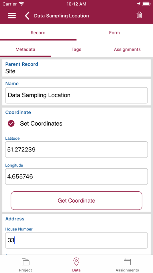
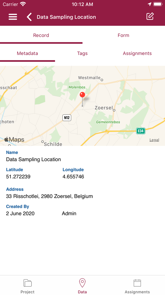
This app is used for field data entry into your VECMAP® data collection project(s). It does not have any stand-alone functionality.
This app is part of the VECMAP® software package, a one-stop-shop for risk mapping. Climate change is underway and the ever increasing passenger and goods transports have a major influence on the global redistribution of species and diseases. It is particularly observable in the progressive spread of some diseases, detrimental changes in biodiversity and ecotoxicological effects and patterns.
VECMAP® automates and optimises the complex task of mapping these risks and tracking their progress, and makes it possible to design strategies to manage the risks they pose. It combines, project management, satellite data and spatial modelling technology to drive the process from initial design to final spatial analysis. It ensures cost-effectiveness, and its successes to date prove that it gives researchers, managers and policy makers the results they need.
스크린샷


가격
- 오늘: 무료
- 최소: 무료
- 최대: 무료
가격 추적
포인트
0 ☹️
순위
0 ☹️
목록
0 ☹️
리뷰
첫 번째 리뷰를 남겨보세요 🌟
추가 정보
주소록
- 🌟 공유하기
- App Store
당신은 또한 같은 수 있습니다
-
- VECMAP Helsinki
- iOS 앱: 유틸리티 게시자: Avia-GIS
- 무료
- 목록: 0 + 0 순위: 0 리뷰: 0
- 포인트: 0 + 0 버전: 1.1.3 VECLIMIT Consortium led by Prof. Olli Vapalahti funded by the Academy of Finland for a special call on "Climate Change and Health" Vector-borne diseases (VBD) are posing an increasing ... ⥯
-
- RESTOREID
- iOS 앱: 유틸리티 게시자: Avia-GIS
- 무료
- 목록: 0 + 0 순위: 0 리뷰: 0
- 포인트: 0 + 0 버전: 1.0.7 Allows participants of the RESTOREID project to enter data into the RESTOREID project. ⥯